Key industries: Tourism, Gold mining
Issyk-Kul region is one of the regions of Kyrgyzstan. Its capital is Karakol. It is surrounded by Almaty Region, Kazakhstan (north), Chuy Region (west), Naryn Region (southwest) and Xinjiang, China (southeast). It takes its name from Lake Issyk-Kul (“warm lake”), the second largest saline lake in the world, which never freezes despite its altitude in the Tian Shan mountains.
The region consists of 5 districts:
The city is known worldwide for its beautiful nature and abundant tourist opportunities: skiing, hot springs, Lake Issyk-Kul, and suitable conditions for extreme sports such as paragliding, mountain biking and alpinism. Karakol ski resort is among the top five ski resorts in CIS countries.
Karakol city is the administrative capital of the Issyk-Kul region. It has rich economic potential being the fourth largest city in Kyrgyzstan and is a center of economic activity for residents of three nearby districts: Jeti-Oguz, Tyup and Ak-Suu. The municipality offers potential investors greenfield and brownfield lots owned by the municipality. Investors are particularly interested by investment opportunities in hotel and restaurant sector, mountain tourism, beekeeping, cattle breeding, dairy, and cultivation and processing of fruits and vegetables.
The city hall of Karakol will fully contribute to the successful implementation of your investment project. https://karakolcity.kg/

The city of Balykchy is the most important economic and transport center of the Issyk-Kul region. The city is located at the junction of trunk roads which lead from the Chuy region, northern and southern shores of Lake Issyk-Kul. The strategic location of the city contributed to the development of trade markets infrastructure and logistics. The trade in the city’s markets is active all year round, which attracts residents and business from the Issyk-Kul region. The city has an exceptionally suitable geostrategic location, close to the border with Kazakhstan and China, and is an important transport hub in the northern part of Kyrgyzstan with access to rail, water and road transport.
It also stands out by excellent economic and environmental conditions for investing in food processing and renewable energy sectors. The municipality offers potential investors greenfield and brownfield lots owned by the municipality. The City Hall of Balykchy is committed to offer qualified labor, a well-developed infrastructure, and to provide best support to investor through the preferences and a top-notch investor servicing program. https://balykchy.kg/
Kyzyl-Suu village is the administrative center of the Jeti-Oguz district. In the past Pokrovka was the name of the settlement. The modern name of Kyzyl-Suu derives from the name of the river flowing through Chon Kyzyl-Suu village.
The village is located between the Jeti-Oguz health resort and the canyon. The distance between its border and the Issyk-Kul lake shore is less than 10 km. A road of regional significance runs through the village. Kyzyl-Suu has a direct access to the motor road of regional significance and an access to maritime transport through Karakol city.
The Kyzyl-Suu climate and natural resources together with availability of highly qualified and competitive workforce and the well-developed road infrastructure create unique conditions for the development of the food processing industry.

Teploklyuchenka is the administrative center of the Ak-Suu district of the Issyk-Kul region. The village is 12 km from Karakol city and it is located in the eastern part of the Issyk-Kul region
Teploklyuchenka was founded at the end of the 19-th century. It used to be a settlement of Russians and Ukrainians, who kindly named this place «Teploklyuchenka». Officially Teploklyuchenka was founded in 1879.
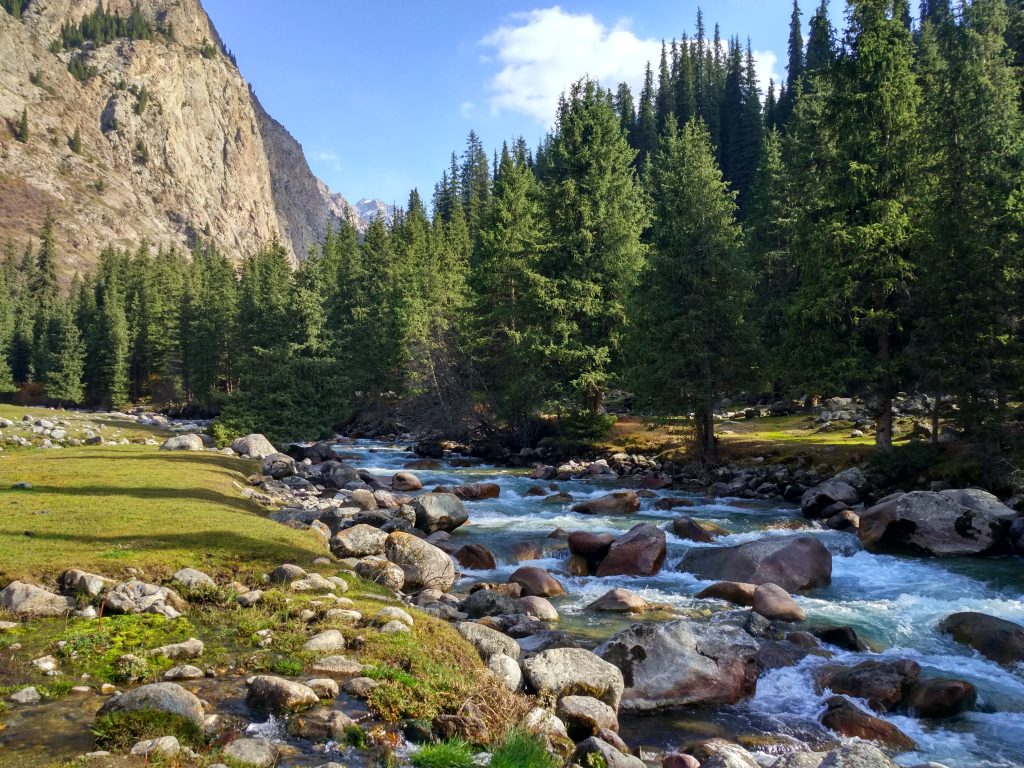
In the vicinity of the village there is the Altyn-Arashan gorge, which ends with the 5022m height «Palatka» peak. The road to the Altyn-Arashan gorge passes through the village.
| 2017 | 2018 | 2019 | |
|---|---|---|---|
| Mining | 78.5 | 74.2 | 41.7 |
| Manufacturing industries | 50787.3 | 48403.9 | 60591.5 |
| Providing electricity, gas, steam and air conditioning | 2202.0 | 2299.0 | 1503.2 |
| Water supply, cleaning, waste treatment and secondary raw materials | 94.8 | 122.5 | 143.6 |
| 2017 | 2018 | 2019 | ||
|---|---|---|---|---|
| Hotels and restaurants | 991.4 | 1058.7 | 1,103,383 | |
| Hotel services | 469.9 | 521.5 | 538723 | |
| Restaurant services | 521.5 | 537.2 | 564660 |
| 2017 | 2018 | 2019 | |
|---|---|---|---|
| Ak-Suu District | 30702.0 | 34728.0 | 36445 |
| Jeti-Ögüz District | 2309.7 | 2389.5 | 2470 |
| Issyk-Kul District | 575529.6 | 621423.9 | 644283 |
| Cholpon-Ata | 111032.4 | 114885 | 134394 |
| Tong District | 21668.0 | 22042.0 | 22542 |
| Tüp District | 2938.0 | 3087.0 | 3198 |
| Karakol | 339566.2 | 355983.0 | 374344 |
| Balykchy | 18700.0 | 19000.0 | 20100 |
The railroad coming from the northwest (from Bishkek) ends at Balykchy. The main highway (A365) from Bishkek passes through Balykchy and into the Naryn Region on its way to the Torugart Pass into China. Highway A363 circles the lake and A362 runs east from the lake into Kazakhstan.
 l
l